Kawasaki City, Kanagawa Prefecture — Kisarazu City, Chiba Prefecture
Driving the Tokyo Bay Aqua-Line 15.1 km Beneath and Over the Sea
The Tokyo Bay Aqua-Line links Kawasaki City in Kanagawa Prefecture with Kisarazu City in Chiba Prefecture, stretching about 15.1 km. About 10 km on the Kawasaki side is an undersea tunnel, while about 5 km on the Kisarazu side is a bridge over the sea. Between them sits Umihotaru, an expressway rest area surrounded by water. One winter morning, I spotted snow-capped Mt. Fuji from the observation deck and hurried straight to a telescope for a closer look. Choose a season and come take a break out over the sea with me.
Switch seasons to read about what to see and what my trip was like. I watched the spring sunset and summer night view until I couldn’t bear to leave. Pick the season that catches your eye, and come explore with me.
SpringMarch
Top Down Across 5 km of Open Sea
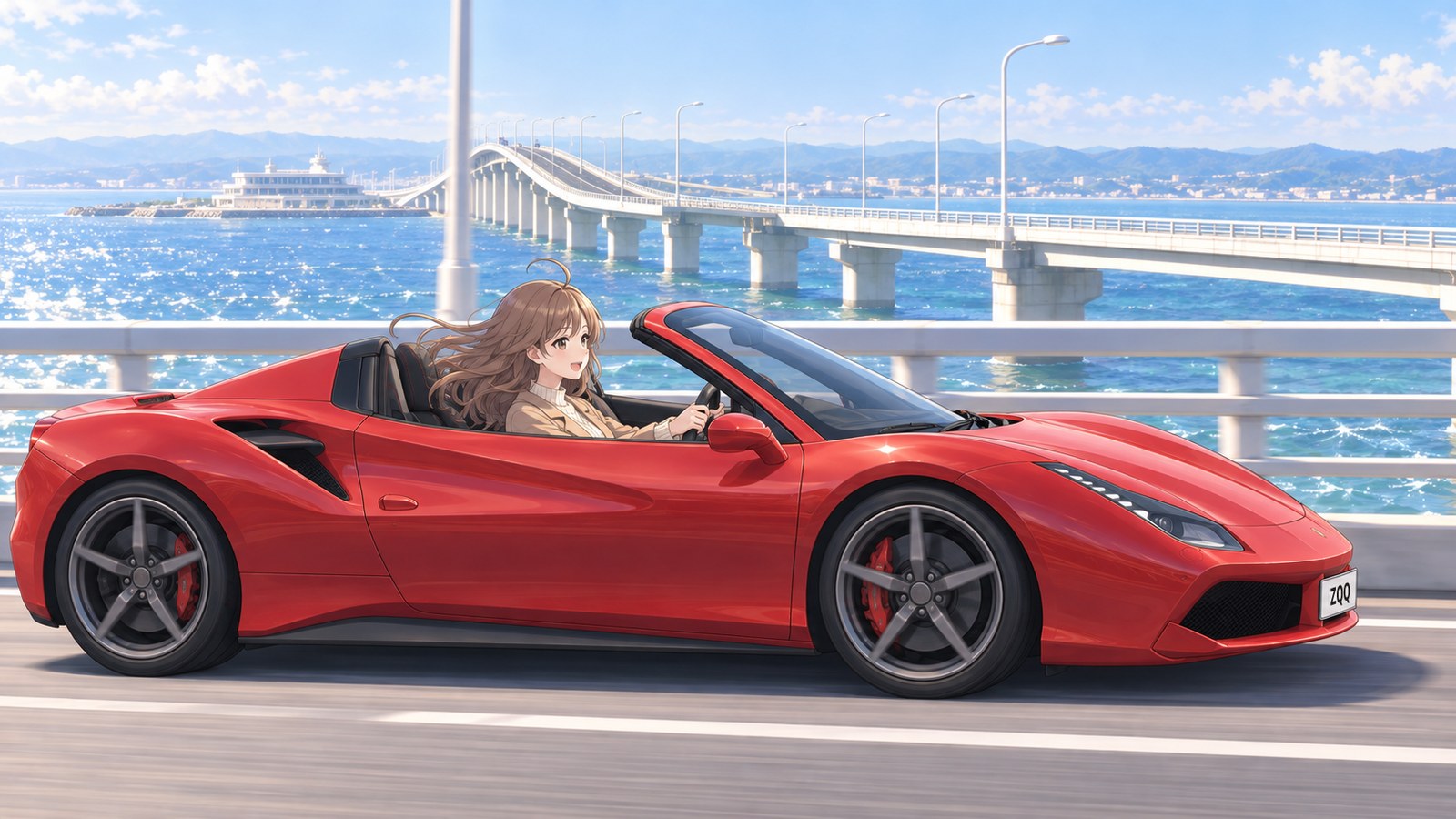
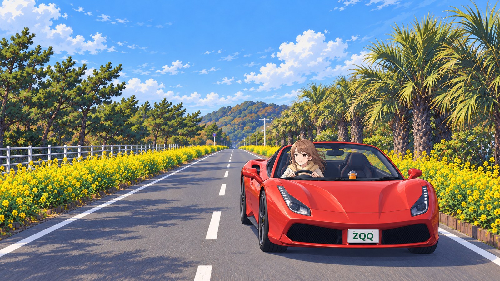
In March, on a sunny day with little wind, I took the Aqua-Line from the Kisarazu side. Beyond the toll gate, the road stretched straight out over the sea. It’s about 5 km from here to Umihotaru, all on the bridge. The sea breeze swept through my convertible. My cheeks were still a little cold, but I couldn’t help smiling. I’d come to drive over the sea, and my heart was already racing.
I heard the bridge girders and piers were designed with curves so they’d blend into the seascape. Knowing that even the shape of the road across the water had been carefully considered made me want to take a closer look when I arrived. The Aqua-Line is part of National Route 409, too. I like collecting national highway signs, so now I want to spot a Route 409 sign somewhere along the way. I saved my closer look at the bridge for after I parked, kept my eyes on the road and my hands on the wheel, and headed for Umihotaru.
A ship-shaped building came into view ahead. That was Umihotaru, an island built to connect the tunnel and bridge, and Japan’s first rest area over the sea. The last time I came, on a summer night, I missed the signs and went straight into the undersea tunnel without stopping. Today I followed the signs to the Level 2 car park for regular cars coming from the Kisarazu side. Once I’d parked, I was so glad I could finally look out over the sea from the island that my steps toward the deck felt lighter.
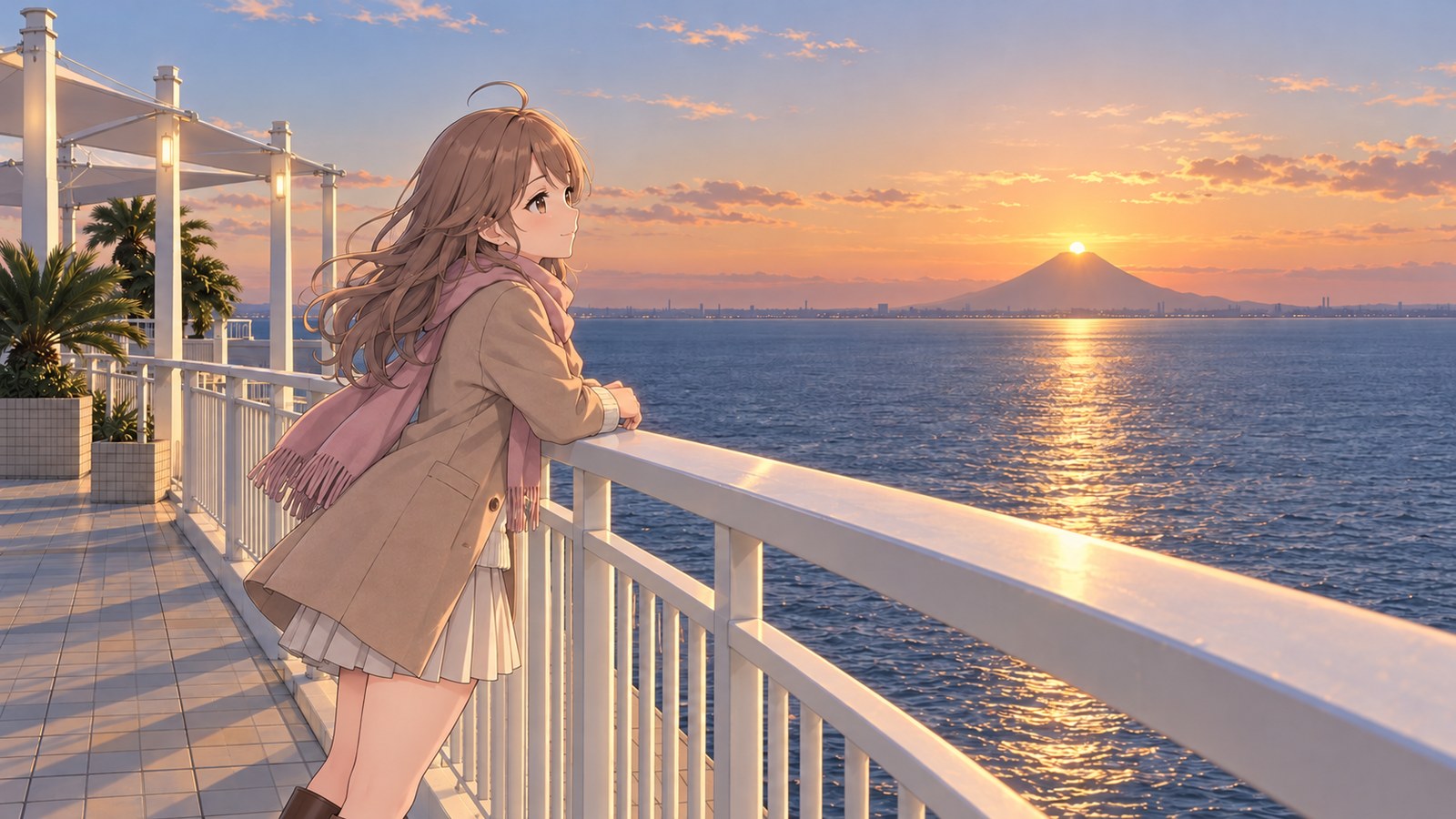
From the observation deck, I could see Mt. Fuji across the water. On some days at Umihotaru, the setting sun lines up with the summit in a view called Diamond Fuji. I heard that today was one of those days, so I decided to wait until evening. The moment the slowly sinking sun touched the peak, I gripped the railing. It really lined up. I couldn’t say a word; I just watched, holding my breath.
On the way back, I headed for Kawasaki and entered the undersea tunnel. Even with my eyes on the road and my hands on the wheel, I kept seeing Mt. Fuji and the sunset in my mind. I’d missed Umihotaru the last time, but today I’d been there for that moment. Even after I got home, I kept replaying the sun meeting the summit and couldn’t fall asleep for a long time.
SummerAugust
An Undersea Tunnel, and This Time I’m Stopping at Umihotaru
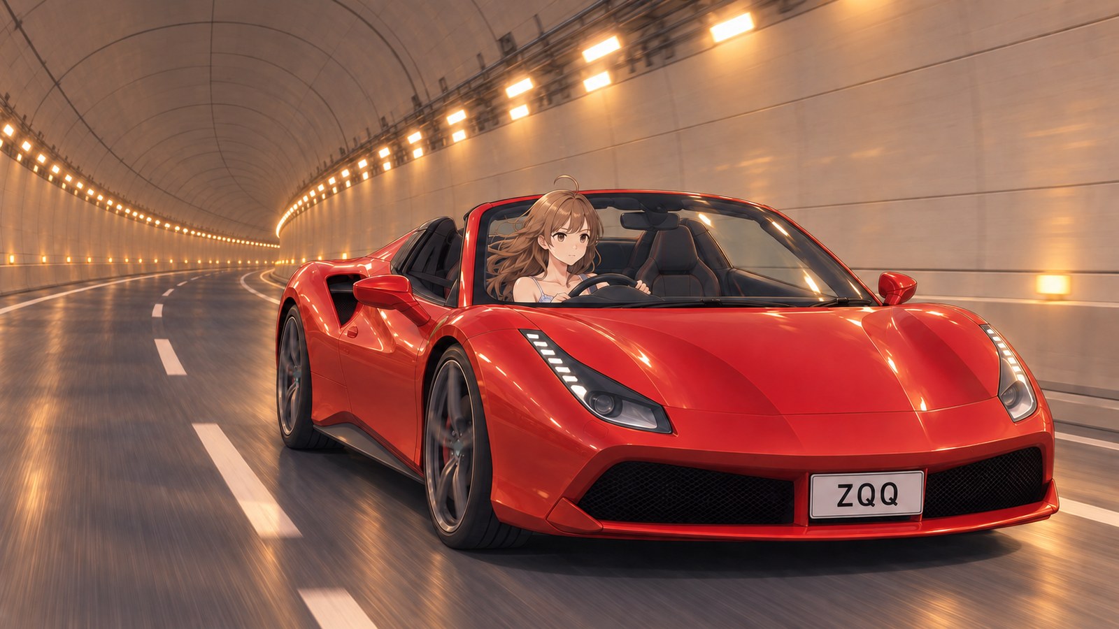
One August evening, I took the Aqua-Line from the Kawasaki side. Inside the tunnel, two rows of lights stretched away into the distance. About 10 km on the Kawasaki side is an undersea tunnel, with its deepest point about 60 m below sea level. Knowing that the sea stretched above me made it feel nothing like an ordinary tunnel. I kept my eyes on the road and my hands on the wheel as I headed for Umihotaru.
Before I stopped at Umihotaru in spring, I’d driven this route on a midsummer night. I missed the signs and went right past the rest area. I was dressed too lightly for a drive with the top down, and the night air was colder than I expected. I remember hunching my shoulders even after I arrived. So tonight I brought a cardigan. I want to take my time with the night view at the spot where I watched the sunset in spring.
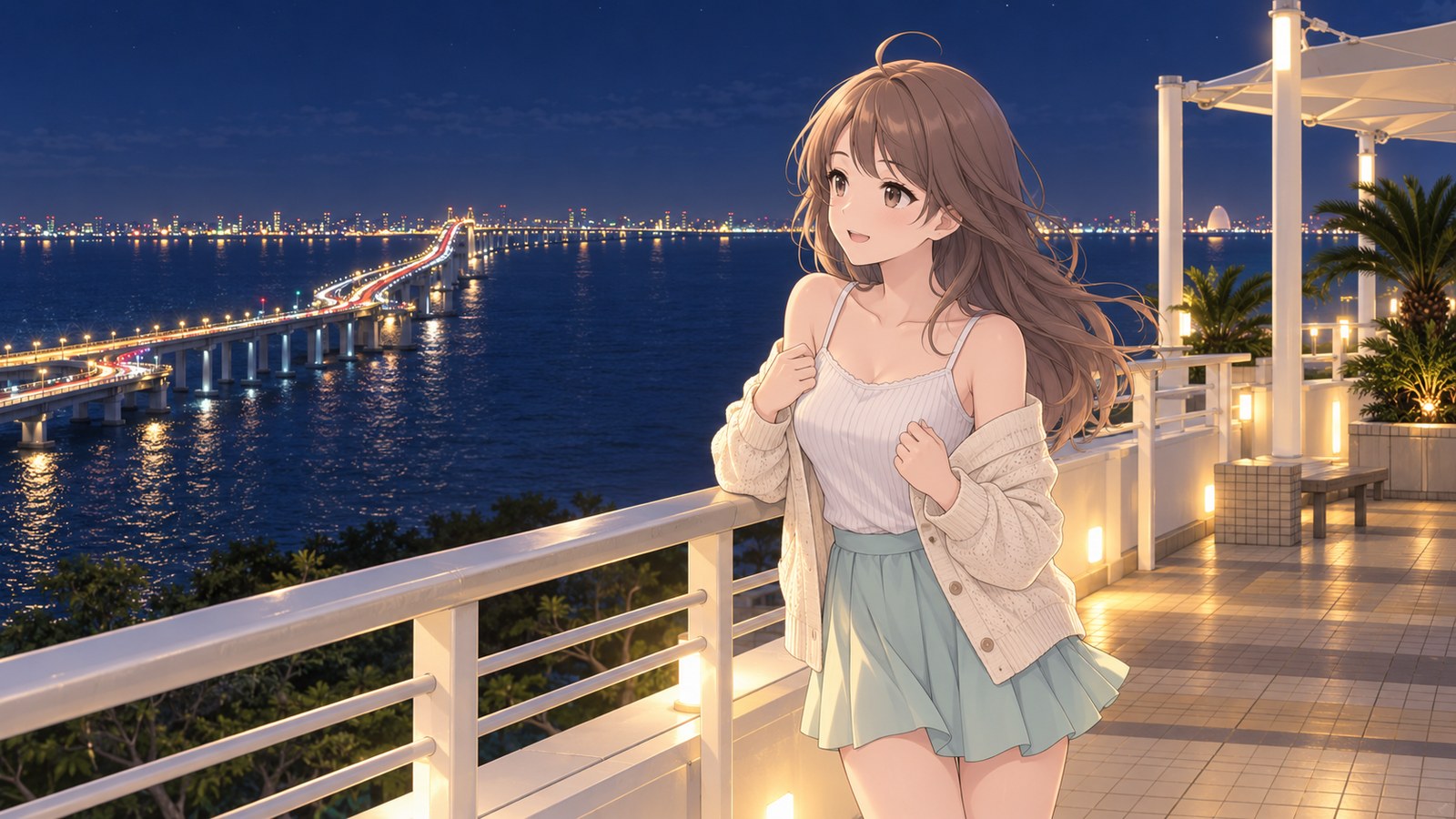
After the tunnel, I reached Umihotaru and followed the signs to the Level 3 car park for regular cars coming from the Kawasaki side. By the time I stepped onto the observation deck after a short break, the sky was completely dark. Beyond the humid night air, the lights of the cities along the shore stretched into the distance. The bridge lights ran all the way toward Kisarazu without a break. In the tunnel, I’d seen nothing but walls and lights, so the sudden sweep of open sea at night took my breath away. I stood at the railing, unable to move for a while.
Walking toward the Kawasaki side of the deck, I saw the city lights clustered tightly together. I’d driven here through the seabed from somewhere beneath those city lights. Around the other side, toward Kisarazu, the bridge lights stretched straight out over the water. I loved being able to compare the road I’d driven on with the one I was about to cross from opposite ends of the deck, and kept walking back and forth.
I was hungry, so I bought a clam bun and took it out to the deck. When I split the soft, fluffy bun open in both hands, steam rose with a lovely briny smell. I closed my eyes without thinking and savored the aroma before even taking a bite. I blew on it to cool it, took a bite, and immediately wanted another. I pulled my cardigan back around my shoulders and took another bite while watching the night view. I’d once driven straight past this place; now I was relaxing here, taking it all in. Even after the last bite, I still didn’t want to go home.

AutumnOctober
The Sunset Bridge and Kaze no Tō (Wind Tower)
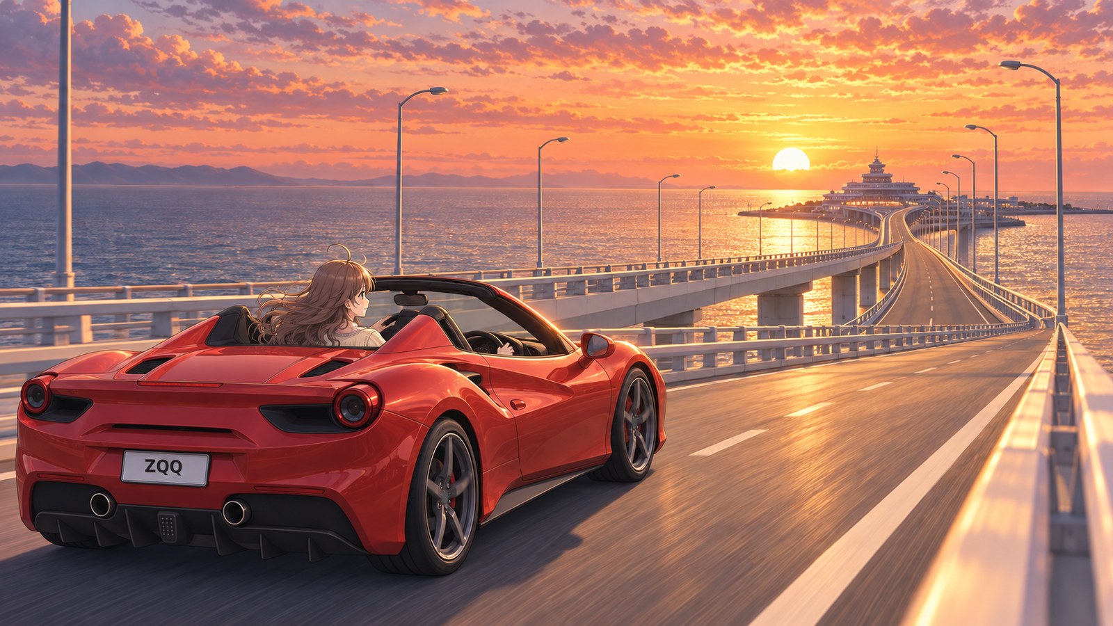
One October evening, as I came onto the bridge from Kisarazu toward Umihotaru, the setting sun was straight ahead. Light stretched across the sea, with Umihotaru’s buildings silhouetted beyond it. I hoped the sun would stay up until I reached the deck. I wanted to take my time watching the sunset over the sea. Keeping my eyes on the road and my hands on the wheel, I drove on, looking forward to the view at the other end.
There was still a little time before sunset. Since I’d come from the Kisarazu side, I parked on Level 2, then stopped by Umi Megane — Aqualine Theater on Level 5. It has two areas, an exhibition gallery and a hands-on zone, where you can watch footage of how the route was built. They dug through the seabed and built a bridge over the water. I’d driven this route without thinking much about it; learning how it had gradually taken shape made me hurry toward the deck.
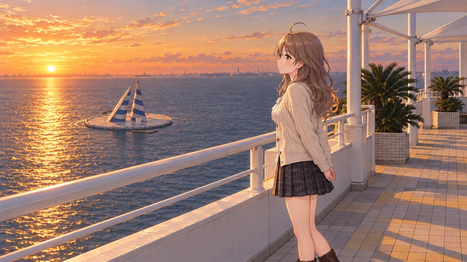
I hurried out of the theater to the observation deck on the Kawasaki side. I’d heard people gather here around sunset. With my hands clasped behind my back, I looked out at the sea. Two sail-shaped towers stood beside the setting sun. That was Kaze no Tō, the Wind Tower. Once I learned it was an artificial island built to ventilate the undersea tunnel, I couldn’t take my eyes off the towers I’d barely noticed before.
The tunnel I’d driven through on a summer night ran beneath those towers, too. Back then, I’d been watching the lights stretch ahead as I drove, and had no idea there was a facility like this out on the sea. As I watched Kaze no Tō against the sunset, my memory of driving beneath the sea seemed to meet the view in front of me. It amazed me that simply learning how a road was built could make an ordinary drive feel special.
As the sun sank toward the horizon, the outline of Kaze no Tō grew harder to see. That tower supports the undersea route I’d driven along. Thinking about that warmed something in my chest; the view I’d thought of as just a sunset meant so much more now. I bowed to the tower in my thoughts and watched the sea until the tower’s outline disappeared in the dark. I wanted one last look before heading home, and it took me ages to leave the deck.
Once it was completely dark, I stopped by the Umi ga Mieru Dai-Kairō (Great Corridor with a Sea View) on Level 4, too. It’s a circular rest area with glass walls all the way around. From here, you can watch the lights of distant ships drift slowly across the view. After watching the sunset from the outdoor deck, I watched the ships’ lights, thinking that my time at Umihotaru could go on even after the sun had gone down.
WinterJanuary
Snow-Capped Mt. Fuji Across the Sea
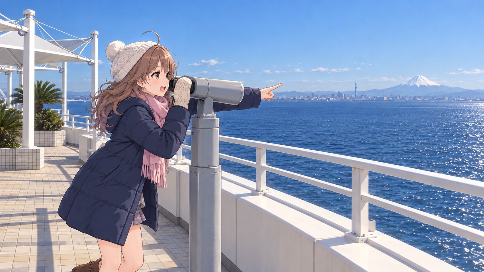
One cold, clear January morning, I drove from Kawasaki through the undersea tunnel to Umihotaru. Coming from the Kawasaki side, I parked on Level 3. The moment I stepped onto the observation deck, the cold bit at my cheeks. I’d heard that Mt. Fuji comes into especially clear view from here on crisp winter days. I looked across the sea and there it was, snow-capped and sharply outlined. I stopped in my tracks. It was so beautiful that I froze with one hand raised, about to adjust my scarf.
I wanted a closer look, so I peered through a telescope. I could almost make out how the snow had settled on Mt. Fuji; I was so absorbed that I forgot everything else. When I looked up and turned the other way, I could see a tall tower over a distant city. The view takes in all of Tokyo Bay, so now I wanted to see that side, too. I could hardly settle on what to look at next. I took one more look at Mt. Fuji, then went to find another view.
As I walked up to the deck railing, a large ship moved slowly through the water just below me. Ships are constantly passing through these waters, which is why the Kawasaki side runs through a tunnel. As I followed the ship with my eyes, I remembered that I’d been driving right beneath it moments earlier. The thought gave me a strange little thrill.
I heard there’s a foot bath in the North Cabin on Level 4. It’s not a hot spring, but it sounds just right for warming up cold feet. I wore tights today, though, so I decided to save it for next winter. If I come back in winter, I’ll have to plan an outfit that works for the foot bath.
Before this road was built, getting from Kawasaki to Kisarazu meant going almost halfway around Tokyo Bay. Surveys took about 20 years, and construction took about 10. Thanks to the people who built this route, known as the Civil Engineering Apollo Project, I’m standing in the middle of the sea, looking at Mt. Fuji. Thinking about how long it took made my heart swell, and I wanted to take in the view more carefully than before.
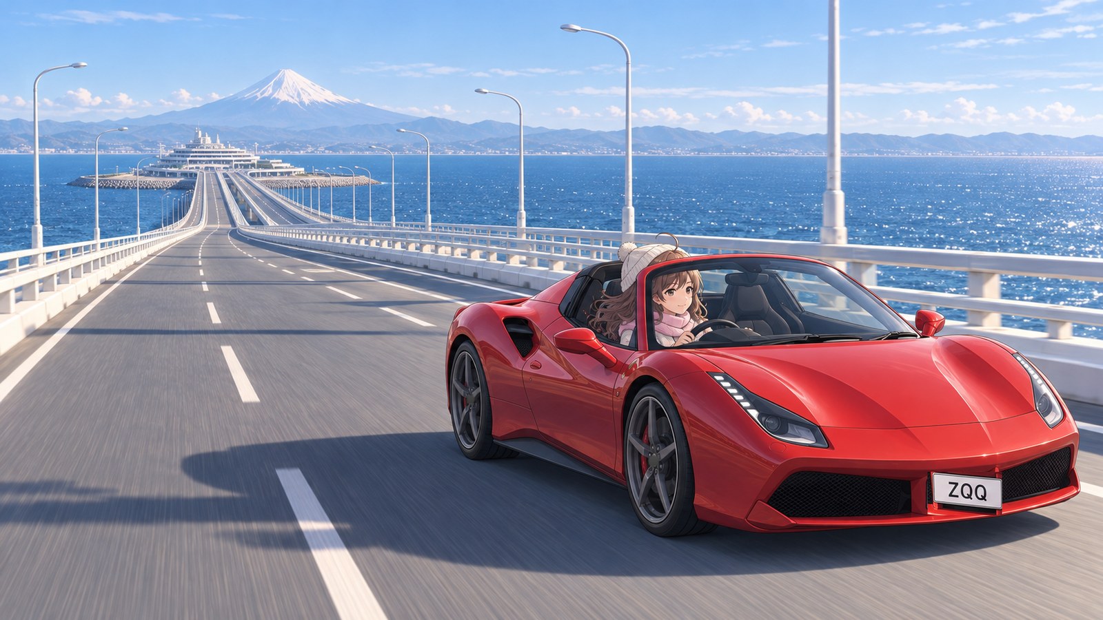
Before heading for Kisarazu, I turned up the heater, adjusted my scarf, and put the top down. When I reached the bridge, the winter wind brushed my cheeks. Keeping my eyes on the road and my hands on the wheel, I thought back to the view of Mt. Fuji through the telescope. Every time I felt the cold, I remembered the moment I’d stopped on the deck. I never expected a drive to see the winter sea to stay with me like this.
The story sections are fiction inspired by this location. For accurate information, please consult official tourism and information websites.
Photos of this place9 images
-
Kawasaki City, Kanagawa Prefecture — Kisarazu City, Chiba Prefecture · Spring
-
Kawasaki City, Kanagawa Prefecture — Kisarazu City, Chiba Prefecture · Spring
-
Kawasaki City, Kanagawa Prefecture — Kisarazu City, Chiba Prefecture · Summer
-
Kawasaki City, Kanagawa Prefecture — Kisarazu City, Chiba Prefecture · Summer
-
Kawasaki City, Kanagawa Prefecture — Kisarazu City, Chiba Prefecture · Summer
-
Kawasaki City, Kanagawa Prefecture — Kisarazu City, Chiba Prefecture · Autumn
-
Kawasaki City, Kanagawa Prefecture — Kisarazu City, Chiba Prefecture · Autumn
-
Kawasaki City, Kanagawa Prefecture — Kisarazu City, Chiba Prefecture · Winter
-
Kawasaki City, Kanagawa Prefecture — Kisarazu City, Chiba Prefecture · Winter
Local specialties
Umihotaru’s clam dishes
Umihotaru’s official website features a range of clam dishes, including clam buns, clam curry, clam soba noodles, salt-flavored clam ramen, clam champon noodles, and clam yakisoba noodles. When I split open the clam bun I ate, steam rose with a lovely briny aroma. The smell alone made me impatient to taste it, so I blew on it to cool it between bites. Even after I got home, I kept thinking about the taste of that bun I’d eaten while looking out at the night view.
Boso seafood rice bowls
At Bōsō Kaisen-dokoro Kisarazu-an, a seafood restaurant at Umihotaru, you can enjoy seafood rice bowls made with fresh fish and other seafood from Boso. After enjoying the briny aroma of a clam bun, I’m curious about the seafood bowls, too. Just thinking about what to try next makes me want to stop at Umihotaru again. It feels like I could add a good lunch to the pleasure of looking out at the sea.
Highlights
15.1 km Under and Over the Sea
The route runs about 15.1 km between Kawasaki City in Kanagawa Prefecture and Kisarazu City in Chiba Prefecture. At its midpoint is Umihotaru, Japan’s first rest area over the sea. About 10 km on the Kawasaki side is an undersea tunnel, and about 5 km on the Kisarazu side is a bridge. The Kawasaki side runs through a tunnel because these waters are so busy with ships. From the observation deck, watching the ships makes me realize that the route we drive and the water they sail through occupy the same space. Just thinking that I came all the way here from beneath the sea makes my heart leap.
The Civil Engineering Apollo Project
After about 20 years of surveys and about 10 years of construction, the route opened on December 18, 1997. A huge shield machine with a diameter of 14.14 m was developed to bore the tunnel. They dug in from both ends and joined the tunnels underground. The actual cutter face — the machine’s cutting head — is on display on the Kawasaki side of Umihotaru’s Level 1. Thinking that it bored the tunnel I drove through makes me want to take a good look at it. The more I learn, the more thrilling it is to think I drove along a route joined beneath the sea.
A 650 m Island Floating on the Sea
Umihotaru is an expressway rest area on an artificial island 650 m long, surrounded by the sea in every direction. The building has 5 floors: car parks on Levels 1 to 3, and shops and restaurants on Levels 4 and 5. When I step out of the car and onto the deck, my planned rest turns into time just for looking out at the sea. At night, I got so caught up in the shore lights that even after I’d finished my clam bun, I had trouble tearing myself away.
Road details
Tokyo Bay Aqua-Line
- Length
- About 15.1 km
- Deepest point
- About 60 m below sea level
From Kawasaki Ukishima JCT, through the undersea tunnel, Umihotaru, and the bridge, to Kisarazu-Kaneda IC. It’s a route that takes you from beneath the sea to above it. When I stepped out of the car at Umihotaru and saw the sea spread out in front of me, my heart leapt.
These figures are from Umihotaru’s official website. The tunnel is 13.9 m in diameter, and its design speed is 80 km/h. The route I drove runs beneath the sea, inside a tunnel that huge. Looking out from the deck and imagining how it was built makes the crossing itself unforgettable.
Nearby driving spots
Expressway rest areas
More Spot Guides
If you enjoyed this story, you might like these places too. I've gone back to each of them in different seasons, again and again.
Maps & Sources
Official information consulted
- Umihotaru (About the Tokyo Bay Aqua-Line) (opens in a new tab)
- Umihotaru (About Umihotaru) (opens in a new tab)
- Umihotaru (Observation deck) (opens in a new tab)
- Umihotaru (Umi ga Mieru Dai-Kairō) (opens in a new tab)
- Umihotaru (Diamond Fuji information) (opens in a new tab)
- Umihotaru (Shops and facilities) (opens in a new tab)
- Umihotaru (Access and fees) (opens in a new tab)
- Chiba Kanko Navi (Enjoy the Umihotaru Parking Area!) (opens in a new tab)