Cape Soya, Wakkanai, Hokkaido
Cape Soya Beyond here, there’s only the sea and Sakhalin
From Wakkanai, I drive east along the coast on Route 238 for about 40 minutes to reach the monument marking Japan’s northernmost point. Whenever I travel around Hokkaido, I can’t help wanting to go all the way up to Wakkanai. Every time I make it here on my own, behind the wheel, I feel a little proud.
Looking back, it feels like I was waiting for something by the monument in every season: Sakhalin’s hidden outline, the moment a cloud shadow passed, or a calm morning.
SpringLate May
One photo for them, one for me, and an ‘N’ coin
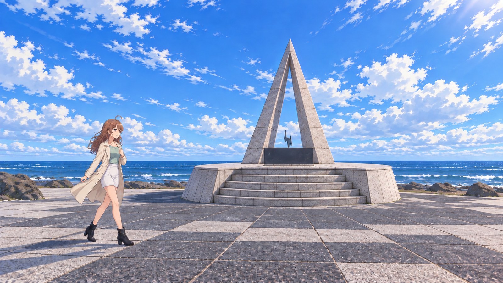
The moment I opened the car door, the sea wind shoved me back, coat hem and all. Even at the end of May, a spring coat still feels right this far north. I started walking with it open, but the wind kept whipping the front and hem around, so I had to hold it down with one hand and try again.
I’d been here in summer, autumn, and winter, but this was my first spring at Cape Soya. I’d stayed overnight in Wakkanai, and after breakfast I headed straight for the cape on Route 238. The free car park along the road has room for 72 cars, yet it was nearly empty in the early morning at the end of May. I was glad to find a space facing the sea.
As I walked over the patterned stone plaza, the waves breaking against the rocks behind the monument seemed to grow larger with every step. The triangular monument I’d looked up at through the snow in winter stood on its dry base in the morning light today. Its tip always seems to point toward the northern sky, no matter how many times I come. The feeling of reaching the northern edge is new every time.
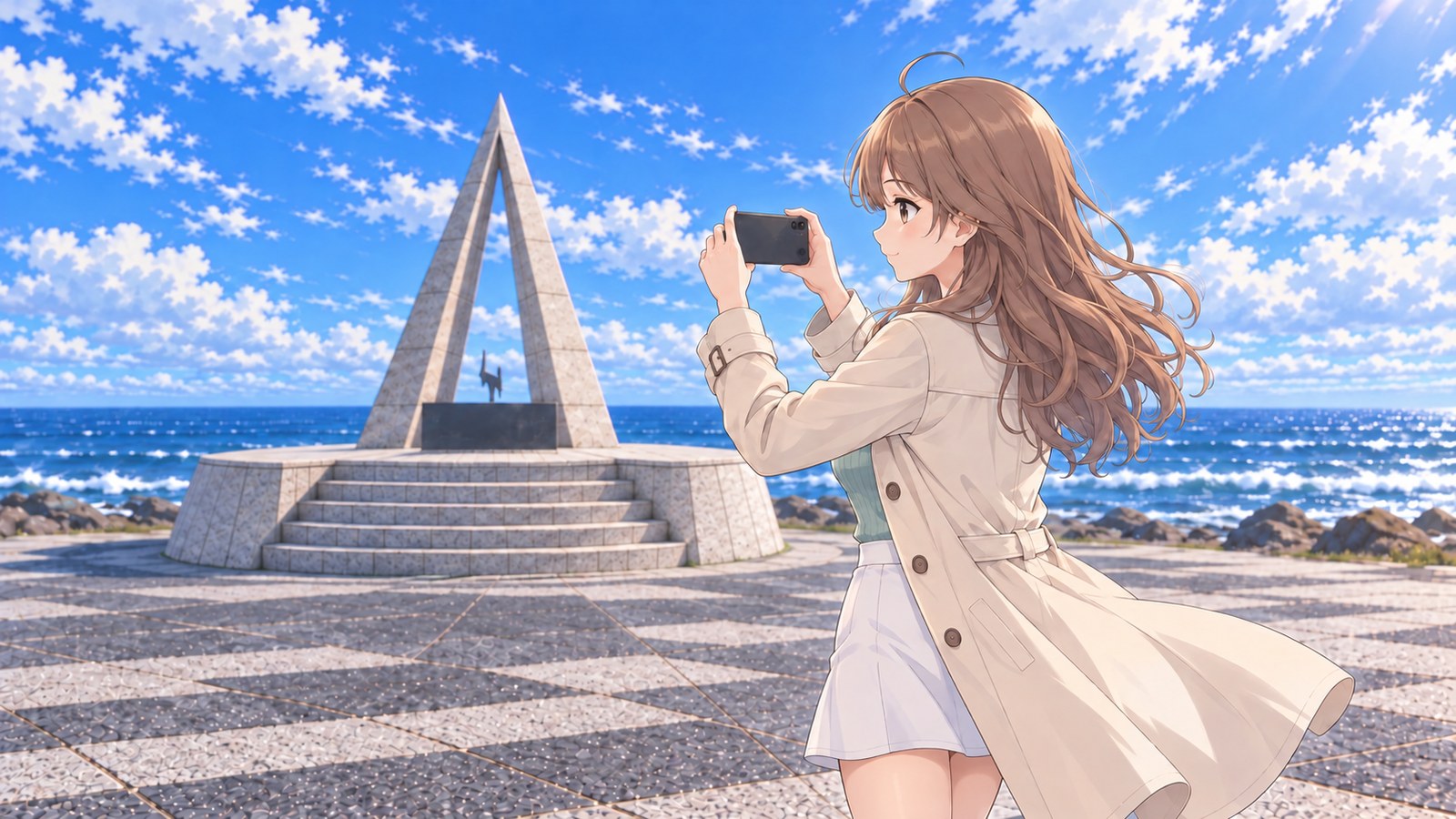
The visitor information says morning is the best time to photograph Cape Soya from the car park. I’d arrived before noon, so I looked for a spot where I could fit both the monument and the sea into the frame, turned my phone sideways, and took a few shots. Soft light spread across the water, and the white of the waves came through clearly on the screen.
While I was checking the photos, an older couple nearby asked, “Excuse me, would you mind taking a picture of us?” I watched through the screen as the husband gently brushed some dust off his wife’s shoulder before they stood together in front of the monument. Seeing a moment like that makes me press the shutter more carefully. When I handed the phone back, the husband offered to take one of me in return. I took him up on it and stood in front of the monument too.
After the photos, the wife asked where I was from. “Tokyo. I brought my car over on the ferry from Oarai,” I said. Her eyes widened. “You came by car? On your own?” The two of them had come from Asahikawa. “Did you stay in Wakkanai last night?” “Yes, near the station.” We got chatting about the breakfasts at the inns where we’d stayed. When the husband laughed and said, “It’s quite something for someone young to make it all the way here alone,” I felt my cheeks warm and couldn’t help laughing too.
I watched the couple’s car leave the car park, then looked at the photo they’d taken of me. There I was in front of the monument, still holding down my coat hem, smiling a little shyly. I have a feeling I’ll look back at this one far more often than my own shots of the monument and sea.
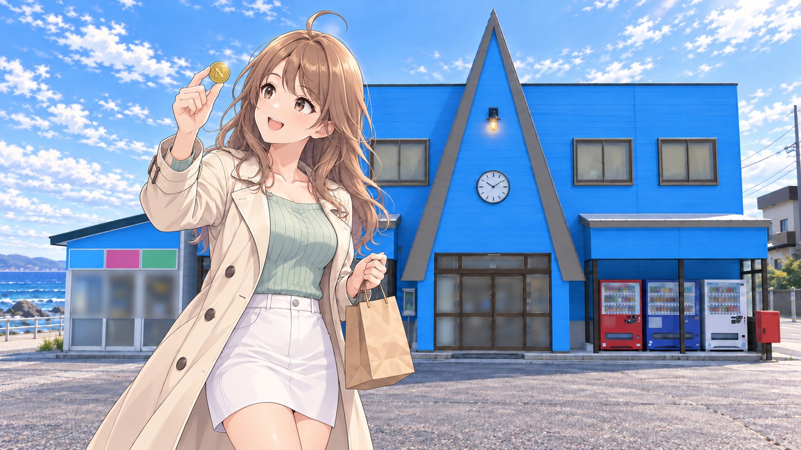
Before heading back to the car, I stopped at the blue souvenir shop right by the monument. A pointed triangular peak rises from the middle of the roof, almost as if the shop were trying to imitate the monument. I was after the gold coin to mark my trip to Japan’s northern edge. A big ‘N’ is stamped on the front. There are matching ‘E’, ‘W’, and ‘S’ coins at the mainland’s eastern, western, and southern ends, too, so I’d love to collect all four someday. I bought a certificate marking my arrival at Japan’s northernmost point as well. Outside the shop, I held the coin up to the morning light, and the ‘N’ flashed.
SummerJuly–August
Sakhalin stayed out of sight, and the sea wind along Route 238
Once I was out of Wakkanai, Route 238 followed the coast east. With the roof down, a sea-scented breeze streamed straight into the convertible. Water on one side, low hills on the other. The bends were easy, and the car glided along without me having to push the speed. On a road like this, even my hands feel lighter on the wheel.
A blue sign marked “238” came into view, and I gave a little nod without taking my hands off the wheel. Of all the National Route signs I’d collected, the one for Route 238, which passes in front of Japan’s northernmost cape, felt especially meaningful. Since getting off the ferry in Hakodate, I’d been heading north and farther north on the map. On my first trip to Hokkaido, this was the one place I couldn’t bear to miss. I’d planned to stay in Wakkanai for two nights so I could wait for a day when Sakhalin might come into view.
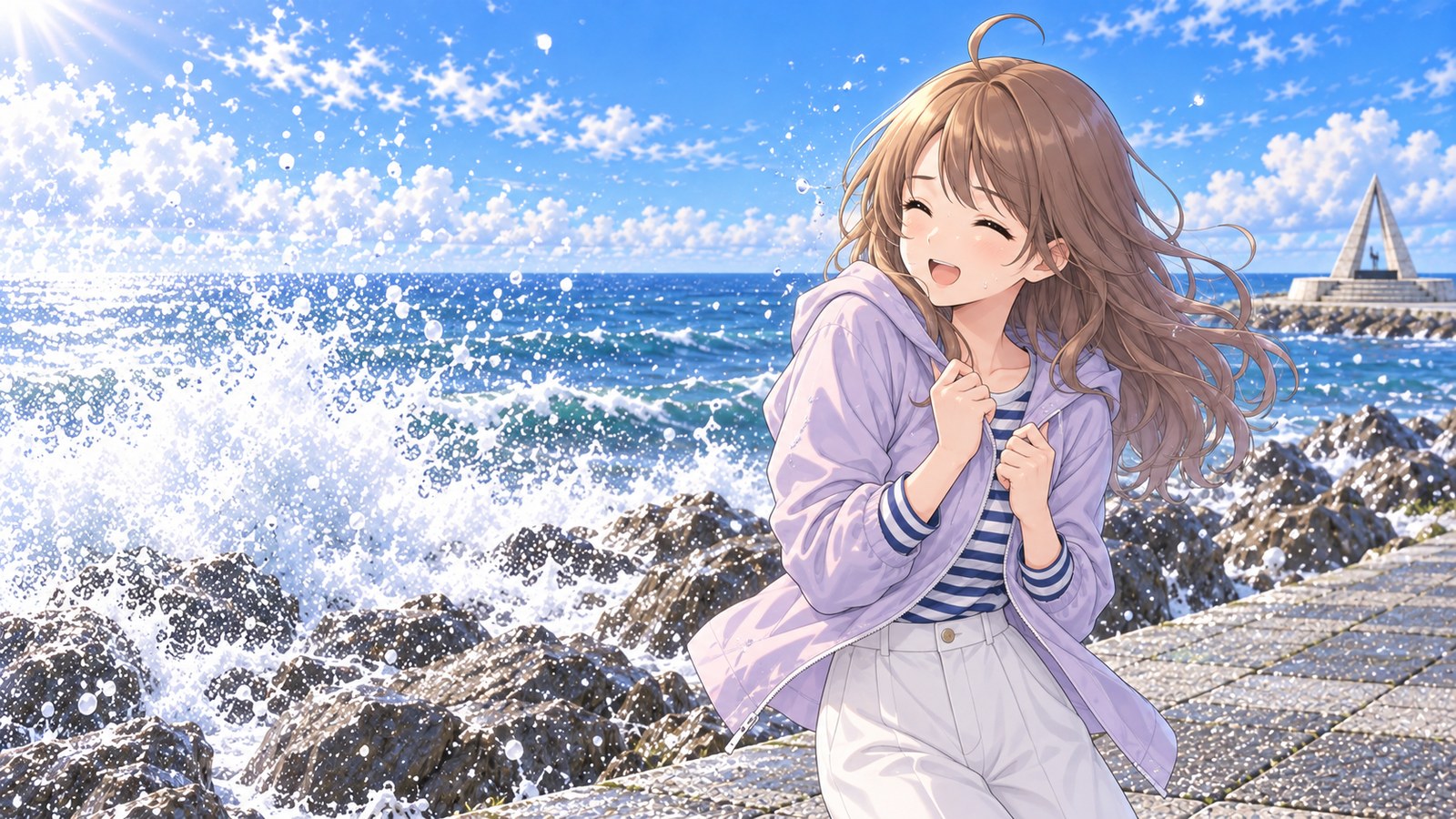
I parked in the car park by the highway and opened the door. The sea wind sent a shiver from my arms up my back. It was summer, so I’d thought one striped long-sleeved top would be enough. Before leaving, I’d looked up Wakkanai’s average July high: around 20°C. I’d focused on the number and completely forgotten about the sea breeze. I hurriedly pulled the light jacket I’d packed for mornings and evenings out of the car and put it on. I hadn’t expected to need it in the middle of the day.
A small line had formed in front of the monument, with people waiting to take photos. As I waited my turn, I looked up at the triangle. 45°31′22″ north latitude. Its tip is shaped like a ray of Polaris, and the ‘N’ in the middle stands for north. The round base at my feet is said to represent peace and cooperation. I was standing at the very top of the map on my own two feet. The thought helped me forget, for a little while, how cold the sea wind had made my arms.
They say that on a clear day you can see Sakhalin’s outline more than 40 km away. With one hand shading my eyes, I searched the horizon from right to left. But that day, the horizon was nothing but sea and sky stretching on and on. I mistook the edge of a cloud for the island and almost pointed, thinking, “There it is!” Then the cloud changed shape at once, and I quietly lowered my hand. Good thing no one saw me.
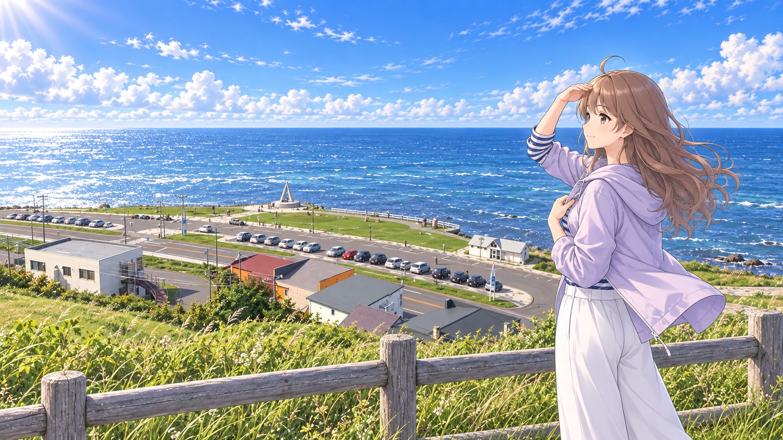
Maybe I’d see it from a little higher up. I left the car in the car park and walked uphill to Cape Soya Park, behind the monument. From beside the wooden fence, I could see the monument plaza and the parked cars far below. The wind was even stronger up there. I held my jacket closed with one hand and shaded my eyes with the other. Still, all I could see on the horizon were white clouds drifting by. It was as if Sakhalin had taken the day off behind the clouds.
When I came down the hill and returned to the plaza, the line was already shorter. We were strangers, but everyone seemed to share the same happiness at reaching Japan’s northern edge. There was something gentle about the way people took turns photographing one another in front of the monument. I joined the shorter line and waited for my turn.
Watching the waves break against the rocks made me want to touch the water, so I moved closer to the shore. Each time a wave hit, fine spray flew up. The moment it hit my face, I let out a surprised squeak. The sea was bright beneath the summer sun, but the spray was startlingly cold. I laughed to myself, eyes narrowed, pulled my jacket closed, and took one small step back from the waves.
I waited at the edge of the plaza until evening, but the clouds kept building and Sakhalin never appeared. Instead, I went back into Wakkanai that night and had Soya Black Beef, raised at Soya Cape Ranch. With one bite, the lean beef’s rich, savory flavor filled my mouth, and little by little the disappointment of missing the island faded. If I didn’t see it this time, I could make that my reason to come back.
AutumnMid-October
I watched two cloud shadows pass before finally pressing the shutter
With my phone raised, I just watched a cloud shadow drift across the sea. One moment the water was sparkling; the next, it was quiet beneath the shadow. I couldn’t decide which view I wanted to capture.
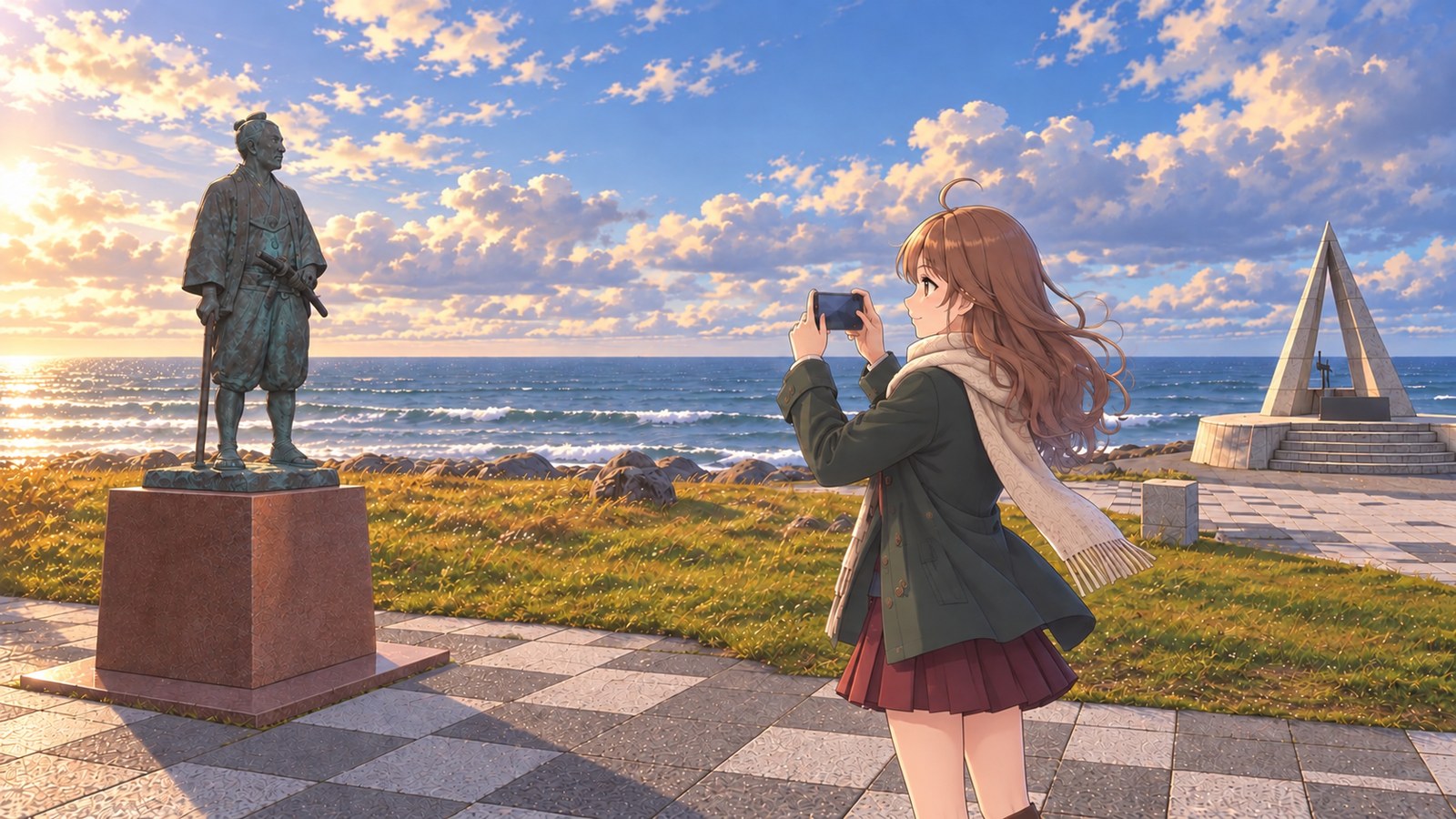
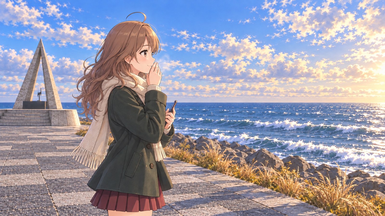
For my autumn trip around Hokkaido, I’d decided to start at its farthest northern edge before the cold really set in. In summer, I’d spent the whole time searching the horizon for Sakhalin, so this time I wanted to capture the monument itself. One October afternoon, I parked and stepped outside into a wind that already had a winter chill to it. I’d heard that in northern Hokkaido, days below 10°C become more common in October. I tucked a cream scarf against the collar of my deep green coat.
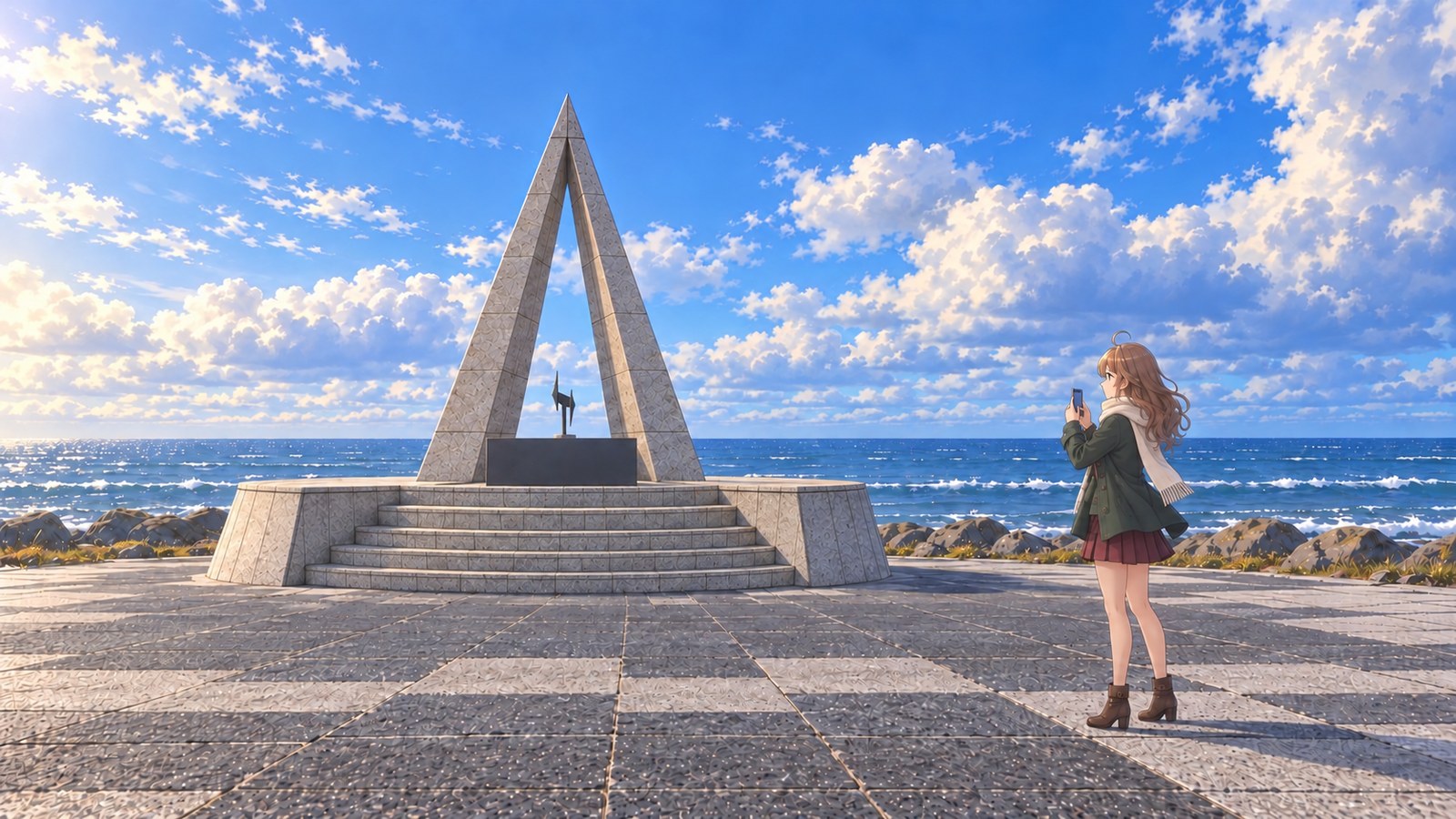
Standing where I could see all the way from the monument to the horizon, I couldn’t decide what to include in the photo. If I framed the monument large, its shape came through nicely, but my first test shot could have been anywhere. If I gave more space to the sea, the monument shrank and the subject seemed to disappear. I kept comparing the view on my phone with the scene in front of me, shifting my position by half a step each time.
There’s also a standing statue of Mamiya Rinzo beside the monument. It was put up in July 1980 to mark the 200th anniversary of his birth. Seeing the statue, the marker at Japan’s northern edge, and the sea all lined up made me feel as though I could see all the years that had passed here. First, I took a photo of the statue alone from a slight angle. The statue, dressed as a traveler from another era, stood upright in the sea wind on its reddish stone pedestal. Then I decided to include it, small, in the photo of the monument too. I walked several steps diagonally across the plaza, looking for a spot where both would fit in the frame.
While I was doing that, a cloud shadow crossed the sea and the water that had been glittering moments before seemed to go quiet. Once the shadow passed, the light returned. I couldn’t decide which view I liked, so I watched the shadow go by once, then twice. At my feet, a dry breeze rolled little tufts of dead grass along the ground. The sun sat low that day, which made the whitecaps stand out. It was a quieter side of the cape than the bright summer sea.
I regretted not bringing gloves, but it was easier to use the screen this way. I breathed on my chilled fingertips and settled on the composition. I stepped back enough to fit the monument and the breadth of the sea, keeping Mamiya Rinzo’s statue small at the left edge. I included the plaza in front of the steps to capture the feeling of standing right there. When the cloud shadow cleared and the waves lit up, I pressed the shutter. I zoomed in and saw a bright ribbon of water reaching almost to the foot of the monument. Waiting had paid off.
Back at the car, I set that photo as my phone wallpaper. With the monument in the frame, the photo brought back the sea and the wide-open plaza, too. I wrapped my palms around my cold fingers to warm them and realized I didn’t mind waiting as much as I’d thought. Then I started the engine and headed back along Route 238.
WinterFebruary
After waiting three days for a calm morning, I made it to the snowy monument
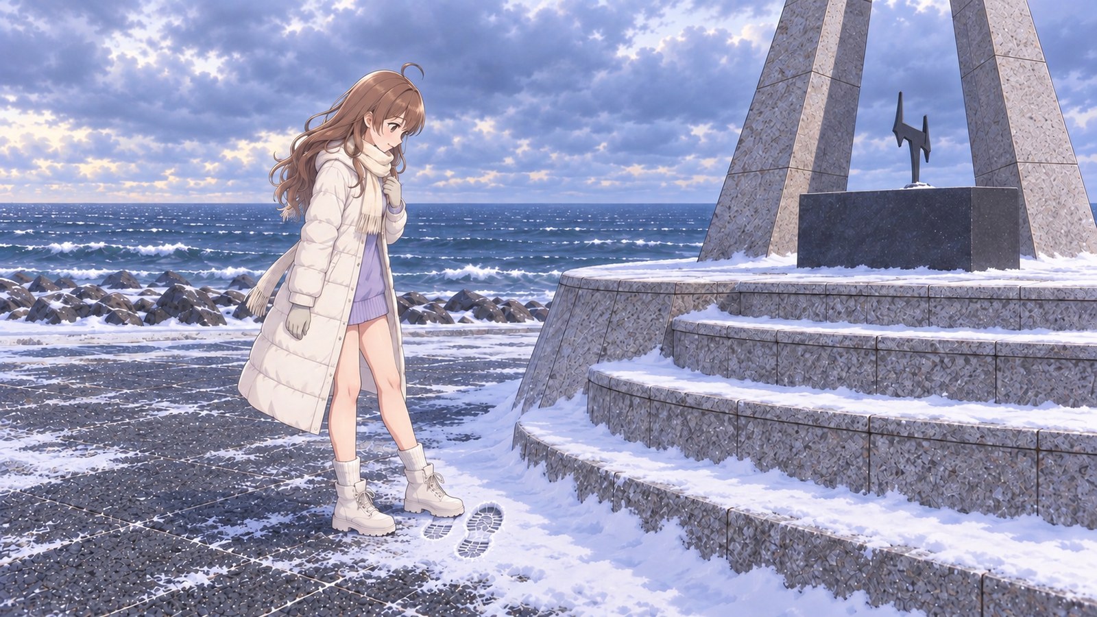
There was a single footprint in the snow at the edge of the base’s steps. Someone had made it here before me on a morning like this.
February in Wakkanai is a time of strong seasonal winds and frequent blizzards, I’d heard. I decided I’d only go to Cape Soya in winter if the weather looked right, so I stayed at an inn in Wakkanai and compared forecasts for three days. While I waited, I watched the snow blow sideways past the inn window and took short walks around town. One night, tired of waiting, I spread out a map in my room and traced the highway to the cape with my finger again and again. By then, it had become part of my routine to chat with someone at the inn about the sky each morning: “What do you think today will be like?”
At last, a calm morning came. I was driving the red four-wheel-drive sedan I’d brought for the snowy roads. On snow-covered Route 238, I left more distance between cars than usual and braked early and gently. Beyond the white road, the gray sea stretched on and on. Each time the wipers swept away the snow, the sea appeared, then disappeared again.
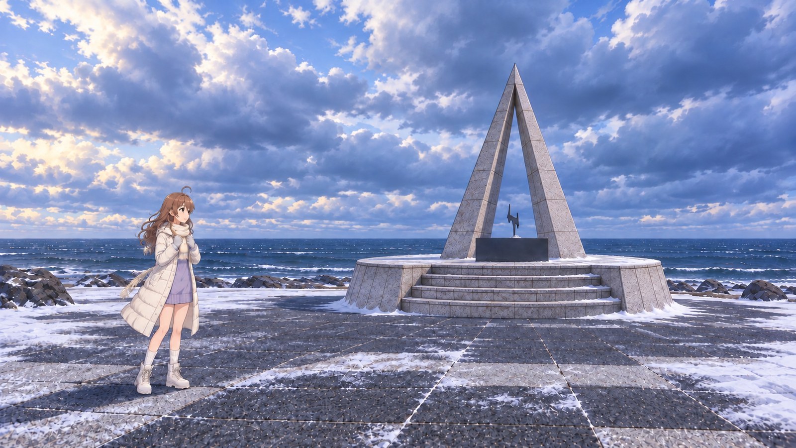
There were just two other cars in the car park. I checked my gloves and scarf before opening the door, but the cold wind still rushed straight in. The stone pattern showed through in some spots, while snow had drifted over others. Snow still clung to the edge of the monument’s steps.
And there was that footprint. I placed my boot beside it; the other one was a size bigger. I walked over to the statue of Mamiya Rinzo by the monument, but snow had drifted around its feet too. It looked as if whoever left the footprint hadn’t come this far. I felt, just a little, as though I’d shared the same morning with someone I’d never met.
The wind caught my cheeks, so I pulled my scarf up to my collar with both hands. Wrapped in my long coat, I could hear the waves whenever the wind eased. As I watched, I began to notice the sea surface farther out rise before a big wave came in. Each time, I found myself waiting for the crash to reach me. It was hard to believe that in summer I’d been shading my eyes from the sun here. Today, I stood with my feet a little apart so a gust wouldn’t knock me off balance.
Back in the car, I took off my gloves in front of the heater. Warm air brushed my cheeks, and only then did I realize how cold my face had become. When I returned to the inn, I told the person I’d chatted with about the weather each morning for three days, “I made it to the cape.” They smiled as if it were their own good news. That night, I treated myself to Wakkanai’s specialty, octopus shabu-shabu. I dipped the thin slices of octopus in the broth for a moment and took a bite. At last, the warmth reached right through to the center of my chilled body. Snow was blowing sideways past the inn window again, but knowing I wouldn’t have to compare forecasts anymore made even that snow look a little lovely.

The story sections are fiction inspired by this location. For accurate information, please consult official tourism and information websites.
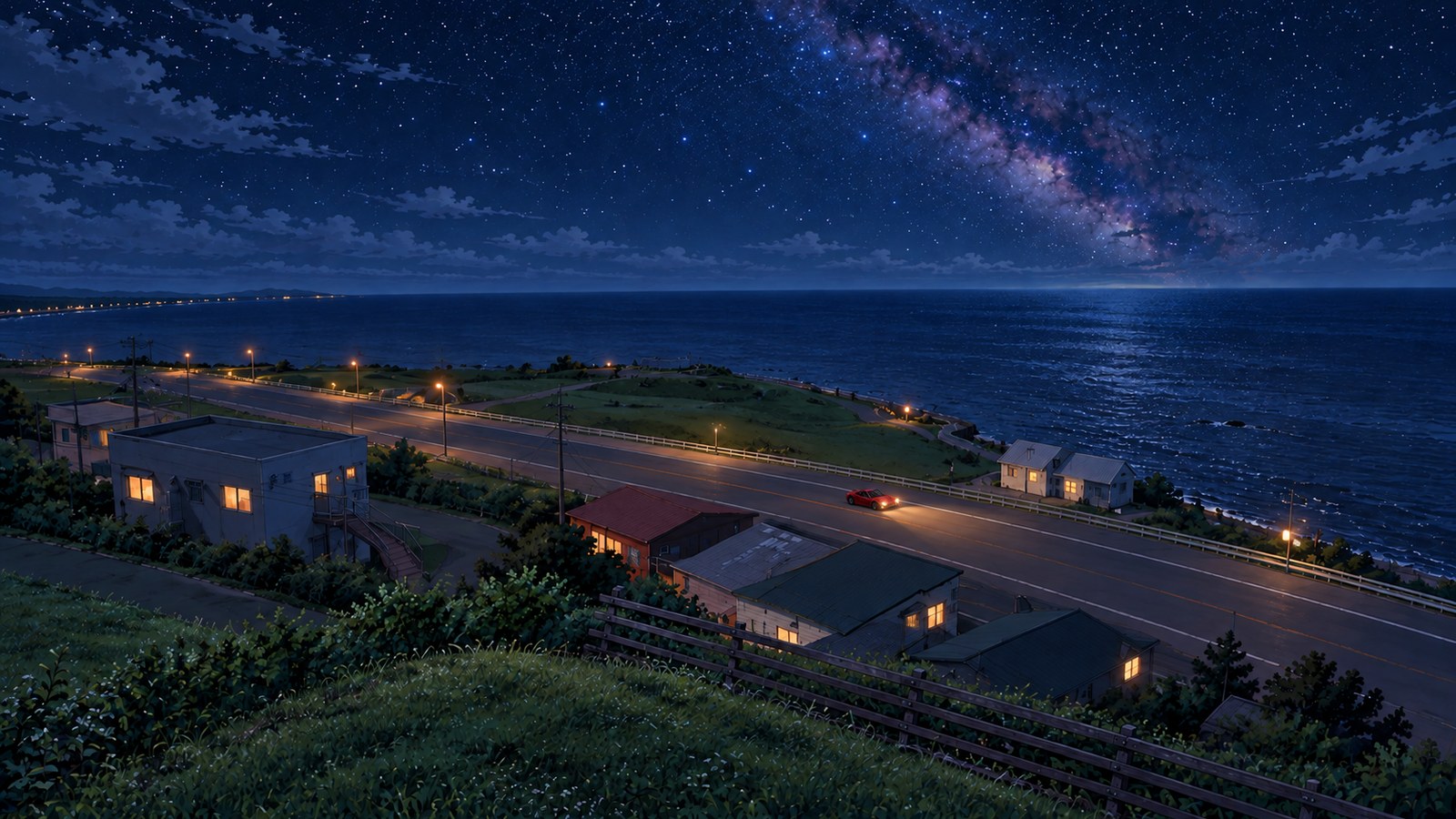
Cape Soya at night
Photos of this place14 images
-
Cape Soya, Wakkanai, Hokkaido · Spring
-
Cape Soya, Wakkanai, Hokkaido · Spring
-
Cape Soya, Wakkanai, Hokkaido · Spring
-
Cape Soya, Wakkanai, Hokkaido · Summer
-
Cape Soya, Wakkanai, Hokkaido · Summer
-
Cape Soya, Wakkanai, Hokkaido · Autumn
-
Cape Soya, Wakkanai, Hokkaido · Autumn
-
Cape Soya, Wakkanai, Hokkaido · Autumn
-
Cape Soya, Wakkanai, Hokkaido · Winter
-
Cape Soya, Wakkanai, Hokkaido · Winter
-
Cape Soya, Wakkanai, Hokkaido · Winter
-
Cape Soya, Wakkanai, Hokkaido · Cape Soya at night (Summer)
-
Cape Soya, Wakkanai, Hokkaido · Summer
-
Cape Soya, Wakkanai, Hokkaido · Summer
Local specialties
Soya Black Beef
Soya Black Beef is raised at Soya Cape Ranch and prized for the rich flavor of its lean meat. You can try it at Urokotei, a seafood robata restaurant in Wakkanai. In a town known for its seafood, choosing local beef instead is a uniquely Wakkanai treat.
Soya octopus
Octopus from Soya is said to be a Wakkanai specialty, served boiled or as shabu-shabu. The texture changes depending on how long you swish it through the hot water, so it’s fun to find the timing you like best.
Soya scallops
I hear Soya scallops are prized for their dense, satisfyingly firm texture.
Highlights
Monument to Japan’s Northernmost Point
The triangular monument stands at 45°31′22″ north latitude and is modeled on a ray of Polaris. The ‘N’ in the middle stands for north, while the circular base represents peace and cooperation. Once you know what each part means, look up and the tip seems to point straight toward the northern sky.
A wide-open view out to sea
The rocky shore begins just beyond the monument, and on a clear day you can see Sakhalin’s outline more than 40 km away. For a wider view of the horizon, walk up to Cape Soya Park on the hill behind the monument.
Road and trip details
Getting here from Tokyo
- Tokyo to Oarai Port
- About 130 kmAbout 1½ hours by car via the Joban Expressway
- Ferry
- Oarai Port to Tomakomai PortTake your car aboard the evening ferry; the crossing takes about 18 hours
- From Tomakomai Port
- About 410 kmAbout 5½ hours by car via the Hokkaido Expressway and other routes
- Nearest interchange
- Toyotomi-kita ICAbout 46 km and 40 minutes to the Cape Soya car park via Routes 40 and 238
The drive to Cape Soya
- By car from JR Wakkanai Station
- About 40 minutes
- By car from Wakkanai Airport
- About 25 minutes
From Wakkanai, take Route 238 east along the coast. The sea opens up outside your window as you get closer to the cape.
When you reach the cape, park in the free car park along Route 238. The plaza by the monument is just a short walk away.
More Spot Guides
If you enjoyed this story, you might like these places too. I've gone back to each of them in different seasons, again and again.
Maps & Sources
Official sources
- Hokkaido Official Travel Site | Cape Soya (opens in a new tab)
- Wakkanai Brand | Soya Black Beef (opens in a new tab)
- Kita Hokkaido | What to Wear on a Trip to Northern Hokkaido: The Right Clothes for Each Season (opens in a new tab)
- Hokkaido Regional Development Bureau, Ministry of Land, Infrastructure, Transport and Tourism (Cape Soya car park) (opens in a new tab)
- Wakkanai Brand (Cape Soya and Soya Hills) (opens in a new tab)
- Japan Meteorological Agency (Wakkanai climate normals, 1991–2020) (opens in a new tab)
- MOL Sunflower (Oarai–Tomakomai ferry timetable) (opens in a new tab)
- Wakkanai Brand (Soya octopus) (opens in a new tab)
- Wakkanai Brand (Soya scallops) (opens in a new tab)
- Kita Hokkaido | Cape Soya Park (Cape Soya Peace Park) (opens in a new tab)
- Four Corners of Mainland Japan (arrival coin information) (opens in a new tab)