Saga, Hirao Town, Kumage District, Yamaguchi Prefecture
A Drive to Mount Oboshi An Afternoon Looking Out over the Islands with My Map Open
I stopped here on a clear afternoon in June. I drove right to the summit and took in the Seto Inland Sea first. I love when the trip I’d been imagining on the map comes to life in the layers of islands and the wide sweep of the sea.
On a clear early-summer afternoon, I want to look out over the islands from the summit. I stood beside my car in a short-sleeved top and unfolded my map. When I head back down the mountain, I’m looking forward to exploring Hirao’s local specialties, too.
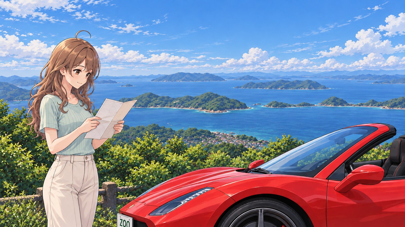
SummerA clear afternoon in June
Before Choosing the Next Stop
I parked the red convertible and stepped out. Beyond the trees, island after island came into view. I caught my breath at how much farther the view stretched than I’d realised on the drive up.
While my friend took in the view, I unfolded the map. I wanted to decide soon where we’d stop next. I traced the shape of the Murotsu Peninsula with my finger. When I looked up, the mountain was on a completely different scale from the tiny islands on the map.
I leaned closer over the map. “Could this be the island I’m looking at?” I wondered. My friend laughed and said, “Let’s look at the view first.” Right, of course. I’d been so caught up checking names that I hadn’t looked at the view I’d come all this way for. I lowered the map to chest height and slowly let my eyes travel from one island to the next, all the way into the distance.
Whenever I see a strip of sea between two islands, I want to go and see what’s beyond it. Today I’m looking down from the mountain, but next time I want to drive along the coast. Talking with my friend as we took in the view made me want to add a detour to the route we’d already planned for the way back.
One of Hirao’s local specialties has caught my eye: Setouchi Colatura. I heard it’s a fish sauce made from Japanese anchovies landed at Saga Fishing Port, and I’ve been wanting to try it in pasta at home. Maybe we should stop by the Hirao Specialty Products Center, too. I looked back toward the town on the map.
Before folding the map, I looked up one more time. I could take in the sea from the mountain, choose a souvenir in town, and keep enjoying the day even after I got home. Just thinking about it made my heart leap and my steps feel lighter as I headed back to the car.
The story sections are fiction inspired by this location. For accurate information, please consult official tourism and information websites.
Photos of this place1 images
-
Saga, Hirao Town, Kumage District, Yamaguchi Prefecture · Early Summer | Map and Island Views
Local specialty
Setouchi Colatura
A fish sauce made from Japanese anchovies landed at Saga Fishing Port in Hirao. It’s featured among the local specialties at the Hirao Specialty Products Center. I’d love to try it in pasta at home and keep the trip going.
Highlights
Drive to the Summit
You can drive to the 438 m summit. The view was so much wider than I’d imagined from the map that I caught my breath as soon as I stepped out of the car.
The Seto Inland Sea and Its Islands
From the summit observatory, you can look out over the southern Seto Inland Sea. I followed the water between the islands with my eyes and found myself wanting to drive along the coast next.
Drive the Murotsu Peninsula
The Murotsu Peninsula Skyline runs near the mountain. After taking in the view, I opened my map, and planning a detour became part of the fun.
Road Facts
Murotsu Peninsula Skyline / Mount Oboshi
- Skyline Length
- About 20 km
- Mount Oboshi Elevation
- 438m
A road that follows the ridge of the Murotsu Peninsula, with Mount Oboshi nearby. After seeing the islands from the summit, I wanted to plan a detour along the coast, too.
The Murotsu Peninsula Skyline is about 20 km long, and Mount Oboshi is 438 m high. See how the route runs on the map, then pair the summit views with a drive on the peninsula.
More Spot Guides
If you enjoyed this story, you might like these places too. I've gone back to each of them in different seasons, again and again.